
NewsPlainly card. Photo: Pralhad258, CC BY-SA 3.0, Wikimedia Commons, edited by NewsPlainly. Card licensed CC BY-SA 3.0.

Why it matters
Climate zones decide which crops can grow where and when they should be sown. A hotter, drier eastern Uttar Pradesh affects one of India's biggest food-growing areas, and the study's authors say farm and water planning should now account for it. In Maharashtra, this year's drought fell on districts the study shows have already shifted to a drier zone.
The hot, dry climate that once ended around western Uttar Pradesh now reaches into the state’s east, according to an IMD climate study made public on Friday, 23 October 2026. The India Meteorological Department (IMD) study compared 70 years of its own weather records and found that large parts of north India have become hotter and drier, while much of peninsular India has become wetter. Its authors say the change matters most for farmers: which crops suit a region, and when to sow and harvest them.
What the IMD climate study found in north India
The paper, titled ‘Identifying the climate zones shifts of Indian meteorological subdivisions: insights from historical records’, appears in Mausam, the IMD’s peer-reviewed journal, The Indian Express reported. Scientists from the IMD in Pune and the Indian Institute of Tropical Meteorology (IITM), Pune, redrew India’s climate map for successive 30-year periods, the standard span over which climate is measured, from 1951-1980 to 1991-2020.
The study tracks four climate zones, defined by temperature and rainfall:
- Hot semi-arid: hot, with low rainfall;
- Tropical savannah: warm all year, with a long dry season;
- Tropical monsoon: the wettest, with heavy seasonal rain;
- Temperate: hot summers and mild, dry winters.
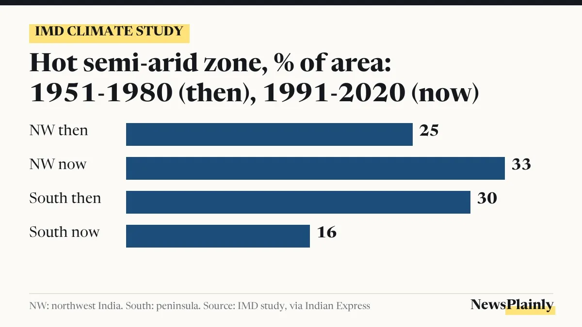
In northwest India, the hot semi-arid zone grew from about 25% of the region’s area in 1951-1980 to nearly 33% in 1991-2020. Over the same span, the temperate zone shrank from about a quarter of the area to less than a fifth. The authors calculate that land equal to about 7% of the region has moved into the drier category because of rising temperatures and falling rainfall, according to the Press Trust of India (PTI) news agency.
The clearest climate zone shift is in Uttar Pradesh. The dry belt that earlier stopped around the western districts has pushed eastward across the state, into what the lead author called one of the country’s most important farming regions.
“When we compared India’s climate map decade by decade from 1951 to 2020, the clearest change was in the north, where the hot, dry zone has pushed east into Uttar Pradesh, and because this is one of the country’s most important farming regions, the timing of sowing and harvesting there needs to be watched closely,” lead author Ananya Karmakar, a scientist at IMD Pune, told The Indian Express.
Why much of the south became wetter
Peninsular India moved the other way. There, the hot semi-arid zone shrank from about 30% of the area to 16%, and most of that land shifted into the tropical savannah zone, which now covers about three-fourths of the peninsula. The study found that rainfall rose over southern India even as it fell over the northern plains.
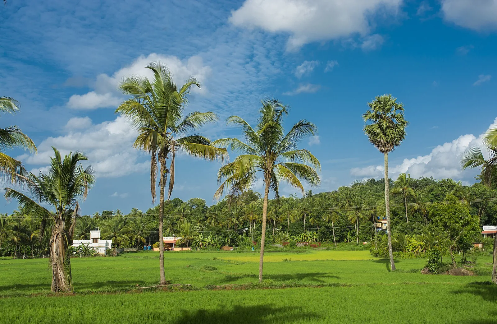
Along the west coast, the tropical monsoon zone, the country’s wettest, has spread further across the Konkan coast, Goa, coastal Karnataka and Kerala, The Indian Express reported in a separate report from Pune.
Not every inland area followed the southern trend, and the IMD climate study’s maps show where. Marathwada and west Vidarbha in Maharashtra lay mostly in the tropical savannah zone in 1961-1990 but had moved into the hot semi-arid zone by 1991-2020. The authors put this down mainly to rising daytime and night-time temperatures. Central India as a whole showed the hot semi-arid zone shrinking slightly, so the change in Maharashtra shows up only on the study’s maps, not in its regional totals.
How the climate zone shift meets this year’s drought
The study’s records end in 2020, but the area it flags in Maharashtra is at the centre of this year’s dry spell. On 26 September 2026, the state declared drought in 265 of its 358 talukas, or about three in four, after monsoon rain ended 19% below normal, The Indian Express reported. El Niño, a periodic warming of the Pacific Ocean that tends to weaken India’s monsoon, left the country as a whole 12.6% short of normal rain this season. Goa ended 34% below normal, and Kerala and coastal Karnataka 28% below.
Karmakar said this year’s drought in Marathwada and Vidarbha is an El Niño drought, and that the study does not look at single seasons. But a failed monsoon now lands on a region whose climate has itself shifted since the 1960s, she said, so water and farm planning there has to account for it.
Mrutyunjay Mohapatra, the Director General of Meteorology and a co-author of the paper, said the records show Maharashtra changing in two directions at once: Marathwada and west Vidarbha becoming hotter and drier, and the Konkan and the coast to its south becoming wetter. He said the IMD needs to build this kind of long-term change into its advice to the state and its farmers. NewsPlainly has reported on the El Niño warning for 2026 and what it meant for India’s rain.
What it means for farmers and crop planning
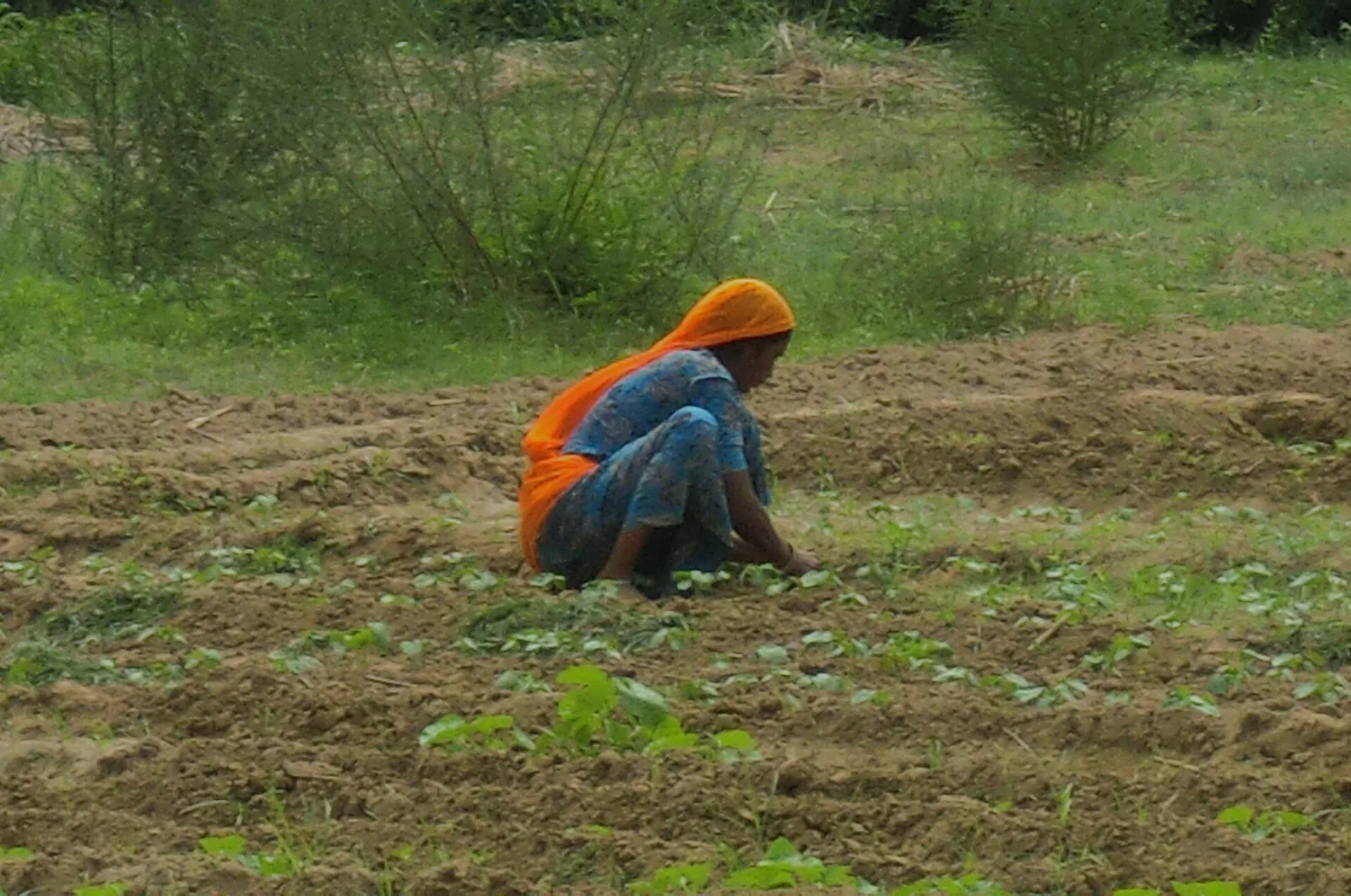
A climate zone sets the outer limits for farming: how much water a crop can count on, how hot the growing season gets and how long the dry months last. The authors say these shifts need close monitoring and should be built into long-term agricultural planning, The Indian Express reported. For farmers in eastern Uttar Pradesh, the lead author singled out the timing of sowing and harvesting as what needs watching. In Maharashtra, the co-author said, the IMD’s advice to farmers should reflect the long-term change as well as the season at hand.
The study does not forecast future zones, and its authors have not said how fast the shift may continue. It describes what the IMD’s own thermometers and rain gauges recorded between 1951 and 2020.
Frequently asked questions
What did the IMD climate study find?
Comparing 1951-1980 with 1991-2020, it found northwest India's hot semi-arid zone grew from about 25% to nearly 33% of the area, the dry belt spread into eastern Uttar Pradesh, and much of peninsular India became wetter.
What is a hot semi-arid climate zone?
An area that is hot and gets low rainfall, as defined in the study by temperature and rain records.
Which parts of Maharashtra became drier?
Marathwada and west Vidarbha moved from the tropical savannah zone in 1961-1990 into the hot semi-arid zone by 1991-2020, mainly because of rising day and night temperatures.
Where was the IMD study published?
In Mausam, the India Meteorological Department's peer-reviewed journal. It was made public on 23 October 2026.