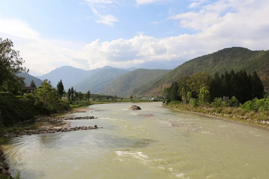
Representative image. Bernard Gagnon, CC BY-SA 4.0, Wikimedia Commons

Why it matters
Bhutan's rivers feed straight into north Bengal and lower Assam, so a burst lake high in Gasa district can put Indian villages at risk within hours. The red alert on the Sankosh decides whether families along the river stay in shelters or go home. Officials also warned that the water could carry heavy debris, which is a danger to people near the banks and to river crossings.
The Sankosh flood alert covers Alipurduar in West Bengal and Dhubri in Assam after a glacial lake burst in Bhutan’s Gasa district on the evening of 29 October 2026. Figures from Alipurduar police put the number of people moved out of the river’s path at more than 10,000 by Friday morning, while Bhutan’s state broadcaster reported no deaths or injuries on its side of the border.
The water came from Shintaphu Lake, high in the mountains below Wakila peak in Laya Gewog, according to the Central Water Commission (CWC) advisory as reported by the news agency ANI (Asian News International) and The Times of India. It travelled down the Mo Chhu river, which becomes the Sankosh once it crosses into India.
What the Bhutan glacial lake outburst damaged
The Bhutan glacial lake outburst is what experts call a GLOF (glacial lake outburst flood): it happens when the natural wall of ice or loose rock holding back a mountain lake gives way and releases a surge of water downstream. Shintaphu Lake is one of 17 lakes that Bhutan lists as potentially dangerous, ANI and The Times of India reported. That list means the lake is watched closely, not that a burst was expected.
The main damage reported was at Gasa Tshachu, a popular hot spring beside the Mo Chhu. The Bhutan Broadcasting Service (BBS) said the flood washed away its facilities, The Times of India and Outlook reported, and that darkness and the strength of the current made it hard to judge the full damage overnight. Two Bailey bridges, the quick-assembly steel bridges used on mountain roads, may also have been lost.
Bhutan’s national paper Kuensel reported that parts of the road to Laya village were washed away and the road was shut indefinitely. ANI, citing the outlet Daily Bhutan, reported that the water reached Taktsemakhang at about 8.15 pm on Thursday and that a stretch of the Punakha-Gasa highway near the 31.85 km mark was destroyed. The hot spring area had been cleared before the water arrived, and BBS reported on Friday that nobody had been hurt. The same hot spring was flooded once before, in 2021, when the Mo Chhu changed its course.
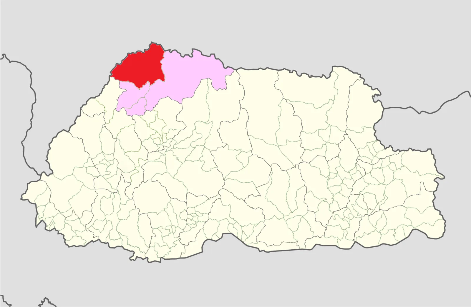
The location has been described in two ways. The advisory, as quoted in reports, names Shintaphu Lake. A post on X by Darjeeling MP Raju Bista on Thursday said the outburst was at Lemthang. Both point to the upper Mo Chhu valley in Gasa district.
Sankosh flood alert: what the CWC advisory says
The CWC, which works under the Jal Shakti ministry, issued a special flood advisory for West Bengal and Assam on 29 October, ANI reported. It said the Indian Embassy in Bhutan had reported the outburst and that a flash flood in the upper Punatsangchhu, the Bhutanese name for the Sankosh, could make the river rise suddenly in Alipurduar and Dhubri districts. It expected the water to reach the India-Bhutan border in 6 to 8 hours and asked local officials to stay alert and take precautions.
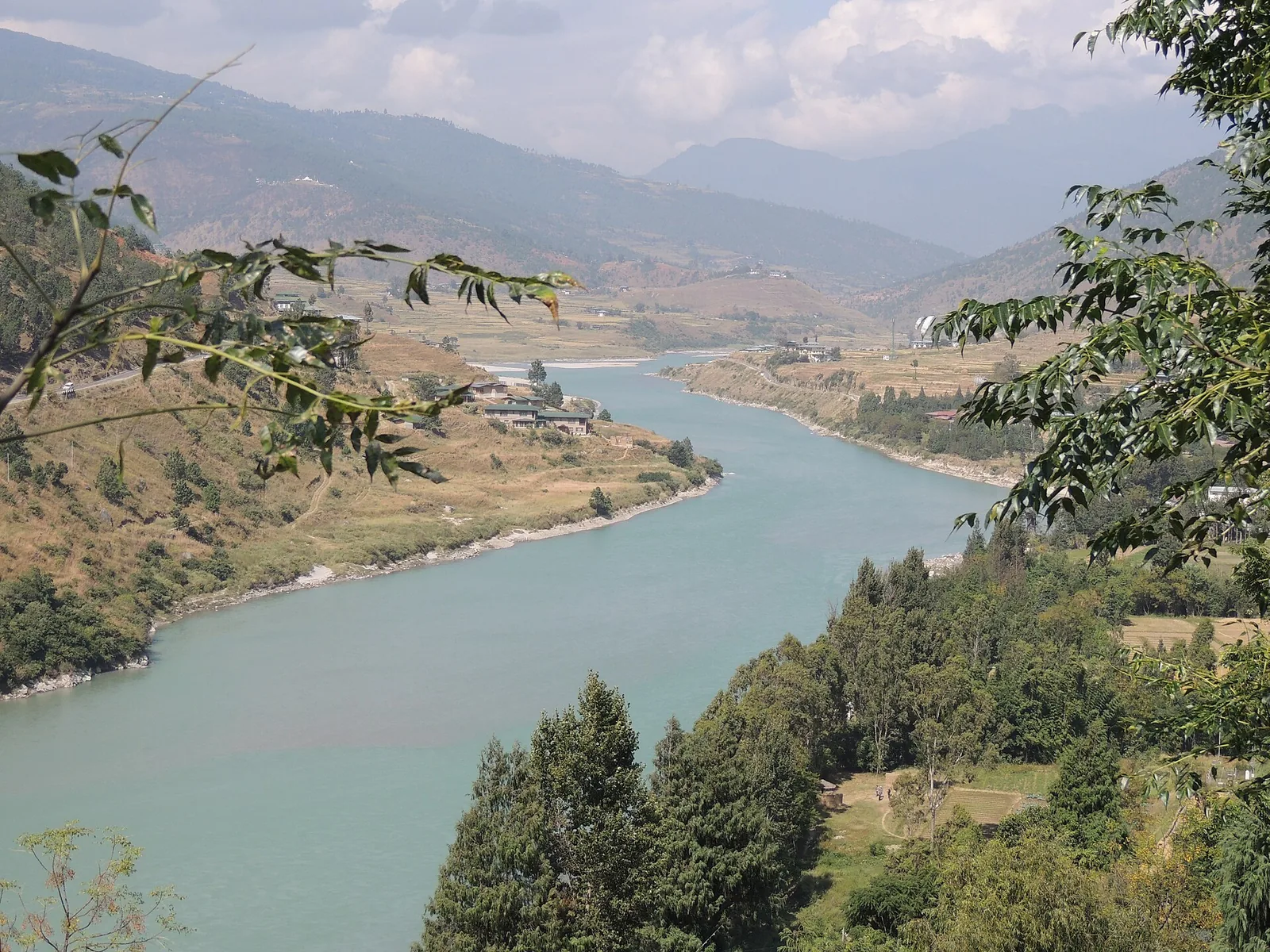
The route explains why two Indian states are watching one river in Bhutan. The Mo Chhu flows south through Gasa and Punakha, where it meets the Pho Chhu to form the Punatsangchhu, ANI reported. That river enters India as the Sankosh, which flows through Alipurduar and Dhubri, the two districts named in the advisory.
| Stage | Place | What was reported |
|---|---|---|
| Source | Shintaphu Lake, Laya Gewog, Gasa | Outburst on the evening of 29 October |
| Upper river | Mo Chhu, Gasa Tshachu, Laya road | Hot spring facilities washed away, road shut |
| Middle river | Punakha, where the Mo Chhu becomes the Punatsangchhu | Highway stretch near km 31.85 destroyed (ANI) |
| India | Sankosh in Alipurduar (West Bengal) and Dhubri (Assam) | CWC: border in 6 to 8 hours; red alert on the Sankosh system |
How Alipurduar moved over 10,000 people after the Sankosh flood alert
West Bengal began alerting people on Thursday. Raju Bista’s post on X asked everyone living near the Sankosh and its tributaries to move to a safe distance, and asked people in the Darjeeling hills, the Terai and the Dooars to stay alert. State minister Nisith Pramanik said the water could reach the plains in five to six hours, that the State Disaster Management Team had been activated and that the National Disaster Response Force (NDRF) had been informed, The Times of India reported.
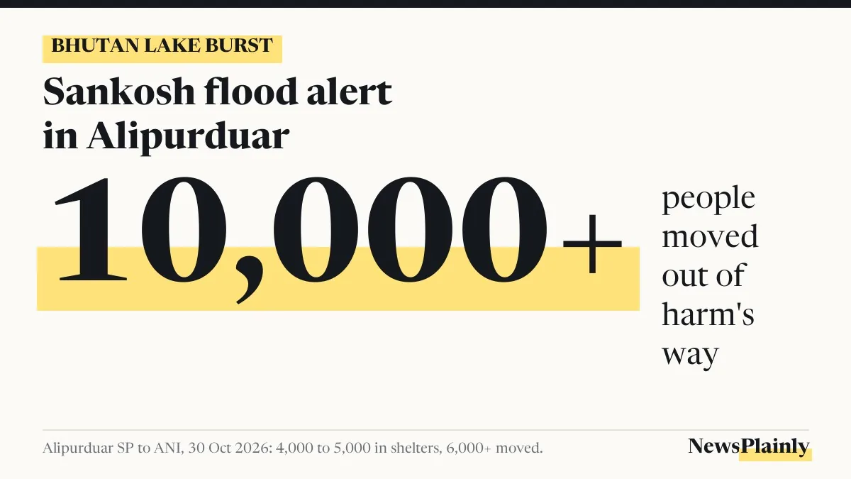
Alipurduar Superintendent of Police Amit Kumar Shaw gave the numbers to ANI. About 4,000 to 5,000 people had gone into shelters, with school buildings used as relief centres, and more than 6,000 others had been shifted to safer places. Added together, that is more than 10,000 people, NewsPlainly’s sum of his figures, which matches the total given by The Times of India and Outlook.
Shaw said there was no need to panic and that the district was in constant touch with Bhutanese officials. The State Disaster Response Force (SDRF) was in place, an NDRF team was on its way and Civil Defence volunteers had been called in. Dry food, drinking water and toilets had been arranged at the shelters, he said.
He also said the force of the water had eased slightly, but the red alert on the Sankosh river system stayed. He warned that the river could carry dead fish and large pieces of wood and concrete, ANI reported.
Dhubri on watch in Assam
Assam’s side of the river was quieter by Friday morning, though Dhubri remained under the Sankosh flood alert. The Chief Minister’s Office said in a social media post that Chief Minister Himanta Biswa Sarma was closely watching the situation and that the Dhubri district administration’s team was on the ground, The Times of India reported.
A spokesperson for the Assam State Disaster Management Authority (ASDMA) said the Sankosh was steady at 6.30 am on Friday, according to the same report. ANI reported that the ASDMA said no evacuation had started in Dhubri or other districts of lower Assam and that river levels had not risen.
Timeline of the Sankosh alert
- 29 October, evening: Shintaphu Lake bursts in Gasa district, Bhutan.
- 29 October, about 8.15 pm: water reaches Taktsemakhang, ANI reported, citing Daily Bhutan.
- 29 October, later: CWC advisory to West Bengal and Assam; Raju Bista’s alert on X.
- 30 October, 6.30 am: ASDMA says the Sankosh is steady in Assam.
- 30 October, morning: BBS reports no injuries or deaths in Bhutan; Alipurduar police figures show more than 10,000 people moved.
What is still not known about the Shintaphu Lake burst
The reports read for this article, the latest updated at about 10.30 am IST on 30 October, did not say how much water the lake released or whether the surge had reached the Indian plains. Bhutan was still assessing the damage at Gasa. The red alert on the Sankosh remained in force in Alipurduar, and Dhubri’s administration was on standby.
Frequently asked questions
Which lake burst in Bhutan?
Shintaphu Lake in Laya Gewog, Gasa district, according to the CWC advisory as reported. Darjeeling MP Raju Bista's post named the place as Lemthang. Shintaphu is one of 17 lakes Bhutan lists as potentially dangerous.
Which districts in India are on the Sankosh flood alert?
The CWC advisory named Alipurduar in West Bengal and Dhubri in Assam. People in the Darjeeling hills, Terai and Dooars were also asked to stay alert.
Was anyone hurt in the Bhutan glacial lake outburst?
Bhutan Broadcasting Service reported on 30 October that there were no injuries or deaths. The hot spring area at Gasa had been evacuated before the water arrived.
How many people were moved in Alipurduar?
Superintendent of Police Amit Kumar Shaw told ANI that 4,000 to 5,000 people were in shelters and more than 6,000 had been moved to safer places, over 10,000 in all.