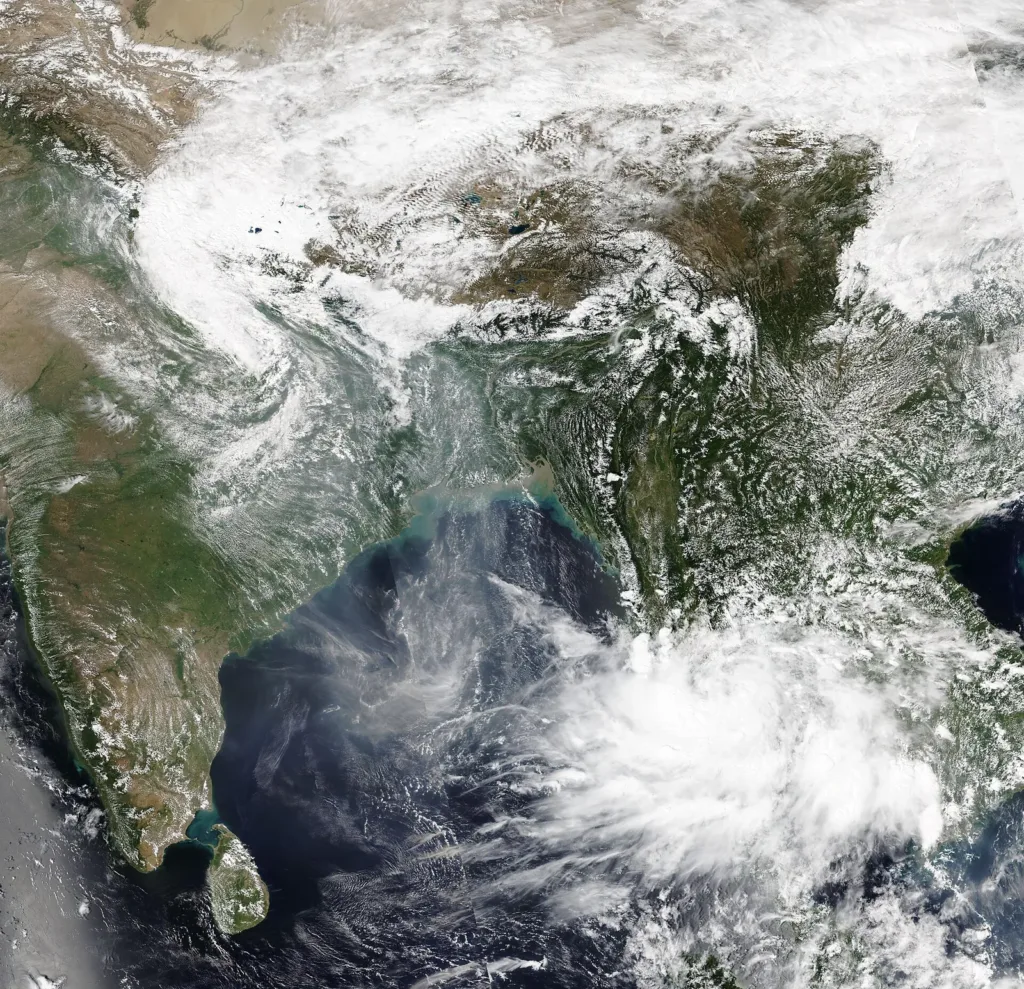
Representative image. VIIRS Imagery from NOAA’s NOAA-20 Satellite, Public domain, Wikimedia Commons

Why it matters
Coastal Andhra Pradesh is still counting losses from Cyclones Arnab and Murasu, and a third storm could hit the same districts within days. The forecast gives fishermen, farmers and coastal residents a few days to prepare, though the landfall point is not yet certain.
A low-pressure system in the Bay of Bengal is expected to become a cyclonic storm around the evening of 16 November, the India Meteorological Department (IMD) said, and weather models cited by its Amaravati centre show it reaching the north coastal Andhra Pradesh coast on the night of 19 November or early on 20 November. If it forms, it is likely to be named Cyclone Akvan, the Deccan Herald reported, and would be the third Bay of Bengal cyclone since late October.
On Saturday the system was a well-marked low-pressure area over the southeast Bay of Bengal. The IMD’s bulletin said it was very likely to strengthen into a depression within 24 hours, which puts that stage on Sunday, 15 November.
Cyclone Akvan forecast, stage by stage
The Cyclone Akvan forecast below comes from the IMD’s national bulletin, quoted by the Deccan Herald and India Today, and from the IMD’s Amaravati centre, as reported by The Hindu. Every date after today is a forecast and can change.
| Date | Stage | Status |
|---|---|---|
| 13 November | Low-pressure area forms over the southeast Bay of Bengal | Happened |
| 14 November | Becomes a well-marked low-pressure area | Happened |
| 15 November | Depression | Forecast |
| 16 November, evening | Cyclonic storm over the south and west-central Bay of Bengal | Forecast |
| 18 November | Severe cyclonic storm | Forecast (IMD Amaravati) |
| 19 November night or 20 November early | Possible landfall, north coastal Andhra Pradesh | Model indication (IMD Amaravati) |
The Akvan landfall point is the least certain part. K. Naga Ratnam, director of the IMD centre at Amaravati, told The Hindu that most models point to north coastal Andhra Pradesh and that the picture should clear once the system becomes a depression. The Deccan Herald reported that weather models were split, with some showing a track towards Tamil Nadu instead.
What Andhra Pradesh has been told to expect
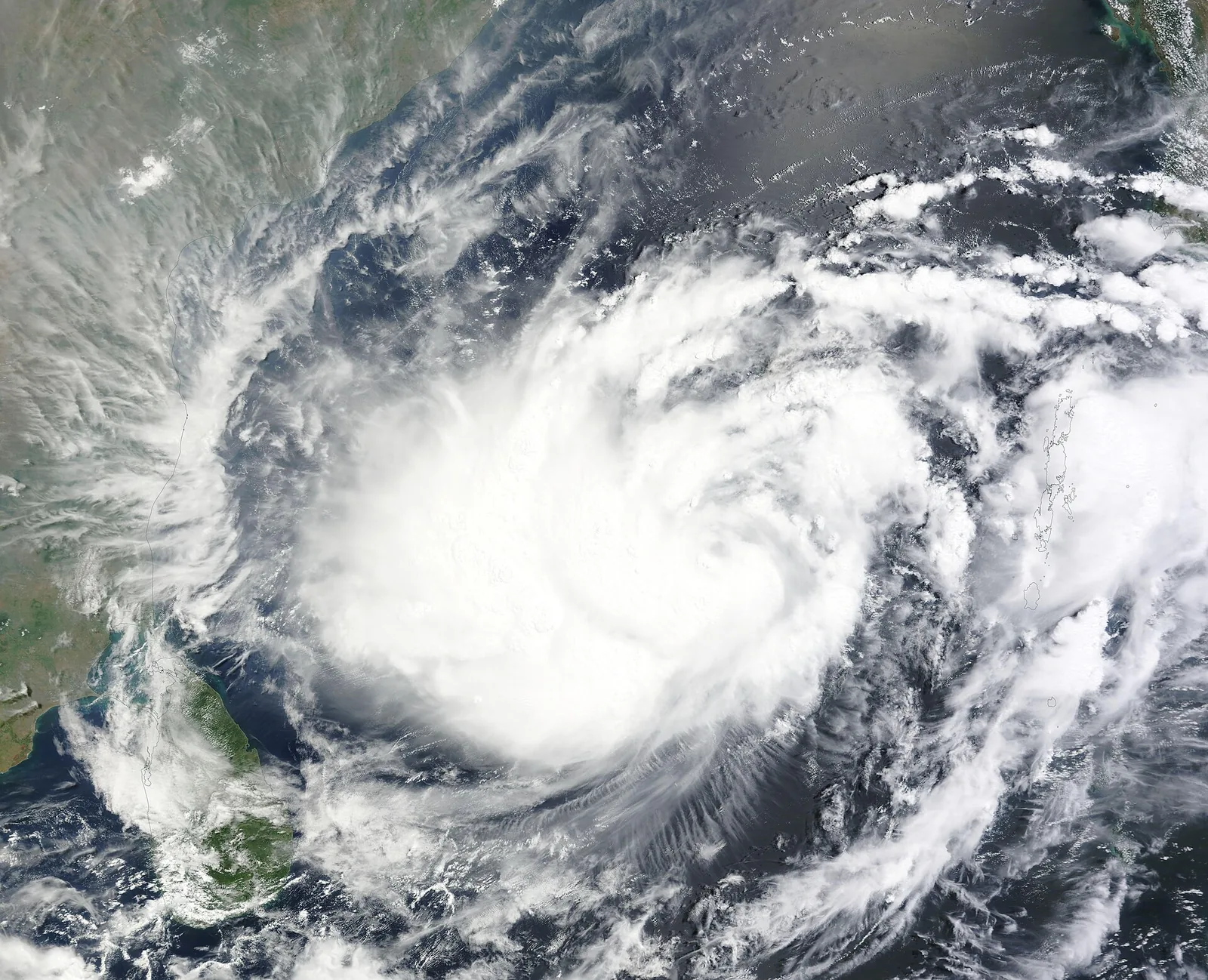
Winds near the Andhra Pradesh coast may pick up from 15 November, at 40 to 50 kmph at first, and reach about 105 kmph around 18 November, according to the IMD figures reported by The Hindu. The IMD has issued an alert for isolated heavy rain in Coastal Andhra Pradesh and said it may update the forecast.
Prakhar Jain, managing director of the Andhra Pradesh State Disaster Management Authority, asked people in coastal areas to stay alert, as gusty winds may blow along the southeast, southwest and central coast from 15 November. Fishermen were told to return to shore by that date, The Hindu reported.
Further south, the Andaman and Nicobar Islands may get heavy rain at isolated places on 15 November, with lightning and gusts of 40 to 50 kmph, India Today reported from the IMD forecast. Rain linked to the northeast monsoon is expected to continue in Tamil Nadu, Puducherry and Kerala.
Third Bay of Bengal cyclone after Arnab and Murasu
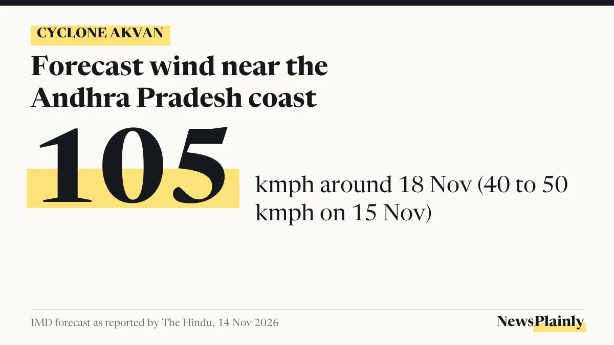
The state is still dealing with the last two. Very severe cyclonic storm Arnab crossed the coast near Narsapur on the night of 28 October, and severe cyclonic storm Murasu near Ongole on the night of 2 November, The Hindu reported. A central team began touring the cyclone-hit districts of Bapatla, Palnadu, Eluru and East Godavari on Saturday to assess damage.
Murasu alone damaged crops on 52,459 hectares in Andhra Pradesh, as NewsPlainly reported after it hit. If Cyclone Akvan follows the forecast track, it would reach the coast about 18 days after Murasu.
“Usually, four tropical cyclones develop over the Bay of Bengal in a year. This time, they are happening in a row,” Naga Ratnam told The Hindu.
Rain in north India on Sunday
Separately, a western disturbance, a weather system that moves in from the west and brings rain or snow, is expected to bring isolated rain on 15 November to Jammu and Kashmir, Ladakh, Himachal Pradesh and Uttarakhand, and isolated showers to Haryana, Chandigarh, Delhi, west Rajasthan and west Uttar Pradesh, India Today reported from the IMD forecast. Delhi may see very light rain or drizzle in the morning, with mist or shallow fog.
Frequently asked questions
When will Cyclone Akvan form?
The IMD expects the Bay of Bengal system to become a cyclonic storm around the evening of 16 November. It is likely to be named Akvan once it does.
Where will Cyclone Akvan make landfall?
IMD Amaravati said most models point to north coastal Andhra Pradesh on 19 or 20 November, but the Deccan Herald reported that some models show a track towards Tamil Nadu.
How strong will the winds be?
Near the Andhra coast, winds may rise from 40 to 50 kmph on 15 November to about 105 kmph around 18 November, according to IMD figures reported by The Hindu.