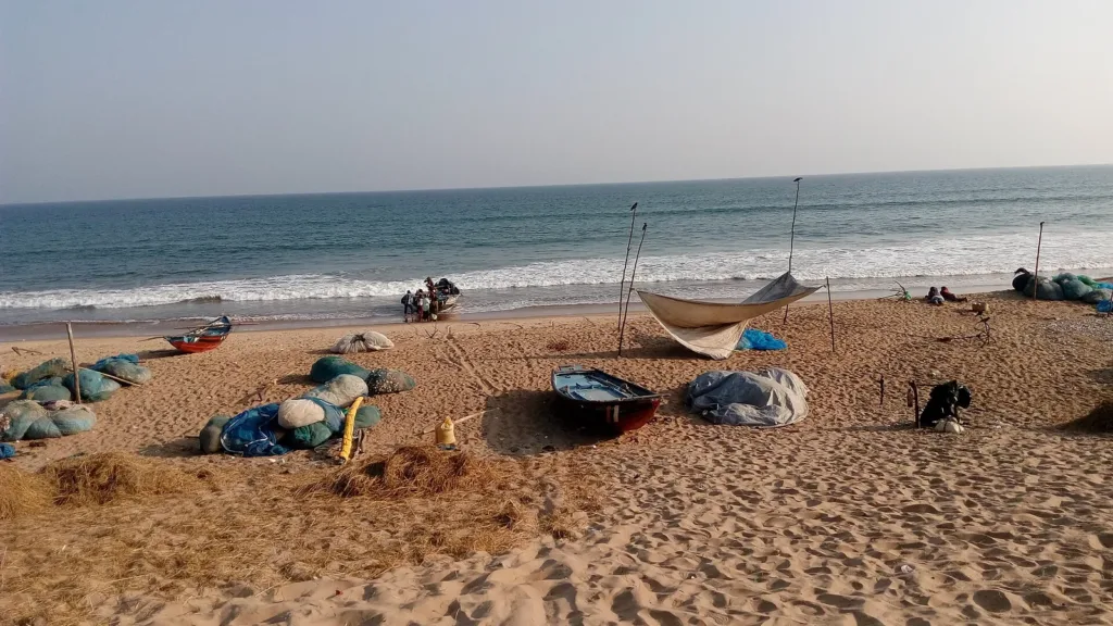
Representative image. Buddy.forever.985, CC BY-SA 4.0, Wikimedia Commons

हिन्दी में सारांश Summary in Hindi
- कवान 20 नवंबर 2026 को दोपहर तक नरसापुर (आंध्र प्रदेश) और पुरी (ओडिशा) के बीच तट पार कर सकता है।
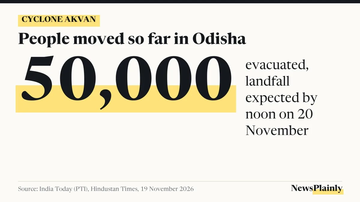
- ओडिशा ने करीब 50,000 लोगों को सुरक्षित जगहों पर पहुंचाया और छह जिलों में तीन दिन स्कूल बंद किए।
- नुमान है।
বাংলায় সারাংশ Summary in Bangla
- ন্ধ্রপ্রদেশ) ও পুরীর (ওডিশা) মাঝে উপকূল পেরোতে পারে।
- ওডিশা প্রায় ৫০,০০০ মানুষকে সরিয়েছে এবং ছয় জেলায় তিন দিন স্কুল বন্ধ রেখেছে।
- পশ্চিমবঙ্গে সাত জেলায় স্কুল বন্ধ এবং ১৯ থেকে ২১ নভেম্বর ভারী বৃষ্টির পূর্বাভাস।
Why it matters
People on the south Odisha and north Andhra coast have about a day before the expected crossing. The state orders on shelters, school closures and fishing, not the storm's category, decide what residents should do now.
Severe cyclonic storm Akvan is forecast to make landfall between Narsapur in Andhra Pradesh and Puri in Odisha by noon on 20 November 2026, the India Meteorological Department (IMD) said, as Odisha moved about 50,000 people out of vulnerable areas, India Today reported. The cyclone Akvan landfall is expected just east of Gopalpur on the south Odisha coast, with sustained winds of 90 to 100 kmph and gusts up to 110 kmph, Mint reported from IMD’s 9.15 am update on 19 November.
The Akvan red alert issued by IMD covers north Andhra Pradesh, Yanam and south Odisha. West Bengal has also closed schools in seven districts.
Cyclone Akvan landfall: where the storm is and when it crosses
At 9.15 am on 19 November the storm had moved north at 12 kmph over the previous six hours, IMD said, according to Mint. Its centre was near 14.5 degrees north and 85.3 degrees east over the west-central Bay of Bengal. That put it 440 km east-southeast of Narsapur, 580 km east-northeast of Chennai, 530 km south of Gopalpur and 590 km south of Puri.
IMD expects it to move north-northwest, so the cyclone Akvan landfall is timed for noon on 20 November. It could still be a severe cyclonic storm when it makes landfall, Mint reported.
NewsPlainly’s rough calculation: 530 km to Gopalpur in about 27 hours means an average of about 20 kmph. The storm moved at 12 kmph in the latest six-hour reading, so the forecast needs it to speed up. This is a straight-line sum from the figures above, not an IMD forecast, and the landfall time can shift.
Odisha: Akvan evacuation of 50,000 and schools shut in six districts
The Akvan evacuation is the state’s main step so far. Chief Minister Mohan Charan Majhi said the state’s target is zero casualties. People are being shifted from villages in Ganjam, Gajapati, Kandhamal, Rayagada, Koraput and Malkangiri, with the largest number from Ganjam, India Today reported. The state has 3,000 cyclone shelters, of which 448 were operational, and has set aside Rs 20 crore for relief in 15 districts.
Schools in Ganjam, Gajapati, Puri, Jagatsinghpur, Kendrapara and Kandhamal are shut for three days from Thursday, 19 November. Employee leave has been suspended. Odisha’s State Selection Board has postponed its Junior Assistant and Junior Clerk exams of 21 and 23 November and will announce new dates, Mint reported. Computer-based tests from 25 November are still on.
Ahead of the cyclone Akvan landfall, IMD has warned of very heavy to extremely heavy rain in Malkangiri, Koraput, Rayagada, Kalahandi, Gajapati, Ganjam, Kandhamal, Boudh, Puri, Nayagarh and Khurda on 19 and 20 November. Odisha Police has put 24×7 control rooms on alert; people can call 112 for help, India Today said.
Andhra Pradesh and West Bengal: what the red alert means
For the Akvan red alert area in Andhra Pradesh, IMD forecasts heavy rain for four days, with thunderstorms and gale winds up to 80 kmph over coastal Andhra, Yanam and Rayalaseema. IMD has advised a complete halt to fishing, and Chief Minister N Chandrababu Naidu has asked officials to send weather alerts to people in cyclone-prone areas and clear fallen trees and damaged poles quickly.
West Bengal has deployed 131 fire teams and 74 special rescue teams. IMD expects very heavy rain between 19 and 21 November in Purba and Paschim Medinipur and heavy rain in South 24 Parganas, Howrah, Jhargram and Bankura. Kolkata may see thunderstorms with 30 to 40 kmph winds. Fishermen have been told not to go to sea off Bengal on 19 and 20 November.
| State | Alert or measure | Source |
|---|---|---|
| Odisha | Red alert for the south coast; schools shut in six districts for three days; about 50,000 evacuated | IMD, India Today, HT |
| Andhra Pradesh | Red alert for the north; fishing halted; gales up to 80 kmph forecast | IMD, India Today |
| West Bengal | Schools shut in seven districts; fishermen warned for 19 and 20 November | India Today |
Third storm in a month for the coast
India Today called Akvan the third cyclone to hit Andhra Pradesh in less than a month and the second to strike Odisha. NewsPlainly covered the earlier ones, including Cyclone Murasu’s landfall near Ongole and the first forecast for Akvan in Cyclone Akvan likely by 16 Nov.
The reports read do not say where exactly the cyclone Akvan landfall will happen or how strong it will be then, and train and flight changes were not covered in enough detail to list. NewsPlainly could not open IMD’s bulletin page itself, so the position and forecast figures come from Mint’s account of the 9.15 am update.
Frequently asked questions
When will Cyclone Akvan make landfall?
IMD expects it to cross between Narsapur and Puri by noon on 20 November, just east of Gopalpur, Mint reported from its 9.15 am update on 19 November.
Which areas are on red alert?
IMD has issued a red alert for north Andhra Pradesh, Yanam and south Odisha, India Today reported.
Who to call for help in Odisha?
India Today reported that Odisha Police asked people to contact their nearest police station or dial 112.